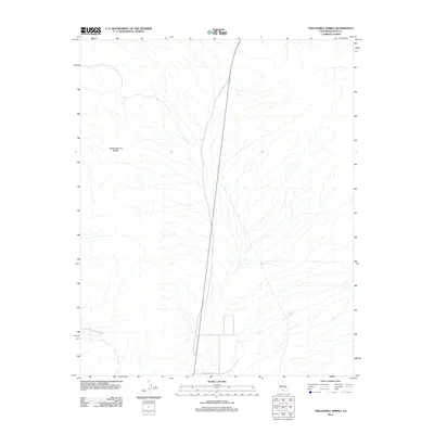
2012 Map of Twelvemile Spring
USGS Topo · Published 2012About this map
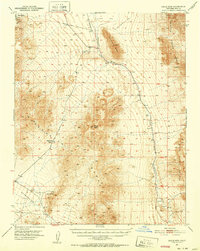
Twelvemile Spring stands as a solitary water source in this arid corner of Inyo County, situated on the eastern fringes of the Resting Spring Range. The terrain is defined by a complex network of dry washes and alluvial fans that drain from the higher elevations toward the valley floor. Transportation through this desert landscape is anchored by Chicago Valley Rd, which traverses the central corridor. This 2012 survey illustrates the stark topographical character of the region, where the steep slopes of the range contrast sharply with the broad, open expanses of the basin, reflecting the traditional isolation of the High Desert boundarylands.
Find a feature on this map
3 named features on this map. Tap any name to fly to it.
Don’t see what you’re looking for? This feature index may not catch every label — zoom into the map to look around manually.
Map Details
Editions of this 2012 Twelvemile Spring Map
This is the sole edition of this map. No revisions or reprints were ever made.
Other maps of this area

1908 · Furnace Creek
USGS Topo · 1:250,000

1910 · Furnace Creek
USGS Topo · 1:250,000

1933 · Avawatz Mountains
USGS Topo · 1:250,000
1940 · Eagle Tank
USGS Topo · 1:62,500

1947 · Trona
USGS Topo · 1:250,000

1948 · Trona
USGS Topo · 1:250,000

1948 · Death Valley
USGS Topo · 1:250,000
1950 · Tecopa
USGS Topo · 1:62,500
1951 · Tecopa
USGS Topo · 1:62,500
1951 · Eagle Mtn
USGS Topo · 1:62,500