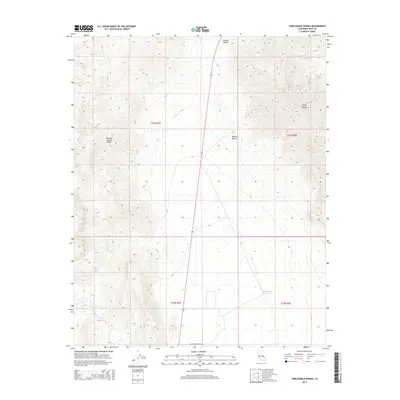
2015 Map of Twelvemile Spring
USGS Topo · Published 2015About this map
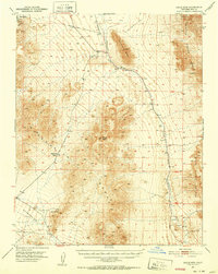
Twelvemile Spring anchors this remote portion of the Mojave Desert within Inyo County, situated in a low-lying basin between two significant mountain formations. The terrain is defined by the Resting Spring Range to the west and the Nopah Range to the east, creating a corridor known as the Chicago Valley. This landscape reflects the quintessential basin-and-range topography of the eastern California desert, where water sources like the spring were historically vital for transit and survival. Modern access is limited to thoroughfares such as Chicago Valley Rd, which skirts the southern reaches of the valley. The map details the precise township and range lines, such as t23n r7e, marking the cadastral survey of these arid lands. This 2015 edition provides a clear record of the area's natural drainage patterns and the stark geological boundaries of the surrounding desert ranges.
Find a feature on this map
10 named features on this map. Tap any name to fly to it.
Don’t see what you’re looking for? This feature index may not catch every label — zoom into the map to look around manually.
Map Details
Editions of this 2015 Twelvemile Spring Map
This is the sole edition of this map. No revisions or reprints were ever made.
Other maps of this area

1908 · Furnace Creek
USGS Topo · 1:250,000

1910 · Furnace Creek
USGS Topo · 1:250,000

1933 · Avawatz Mountains
USGS Topo · 1:250,000
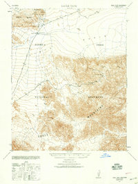
1940 · Eagle Tank
USGS Topo · 1:62,500

1947 · Trona
USGS Topo · 1:250,000

1948 · Trona
USGS Topo · 1:250,000

1948 · Death Valley
USGS Topo · 1:250,000
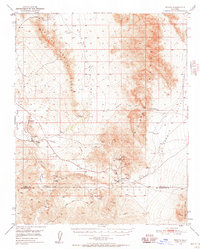
1950 · Tecopa
USGS Topo · 1:62,500
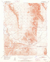
1951 · Tecopa
USGS Topo · 1:62,500
1951 · Eagle Mtn
USGS Topo · 1:62,500