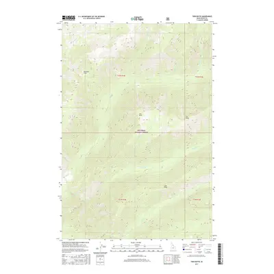
2017 Map of Twin Butte
USGS Topo · Published 2017About this map
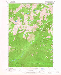
Twin Butte rises as a central landmark within this portion of the Nez Perce National Forest, anchoring a landscape defined by high ridges and a dense network of drainage creeks. The topography is structured by several significant elevations, including Pettibone Ridge in the northwest and Elk Ridge to the east, which separate various watersheds. This 2017 survey details the complex hydrography of the region, where headwaters like Paradise Cr and Cub Cr carve through the steep terrain. The absence of primary roads or permanent settlements highlights the area's role as a managed wilderness and timber resource within Idaho County. Researchers can trace the path of numerous watercourses, such as Santa Cr and Wahoo Cr, as they descend from the northern reaches of the quadrangle toward Bear Cr and beyond.
Find a feature on this map
17 named features on this map. Tap any name to fly to it.
Don’t see what you’re looking for? This feature index may not catch every label — zoom into the map to look around manually.
Map Details
Editions of this 2017 Twin Butte Map
This is the sole edition of this map. No revisions or reprints were ever made.
Other maps of this area
1911 · Lolo
USGS Topo · 1:250,000
1913 · Lolo
USGS Topo · 1:250,000

1956 · Elk City
USGS Topo · 1:250,000
1956 · Hamilton
USGS Topo · 1:250,000
1959 · Hamilton
USGS Topo · 1:250,000

1960 · Elk City
USGS Topo · 1:250,000
1960 · Hamilton
USGS Topo · 1:250,000
1964 · Hamilton
USGS Topo · 1:250,000
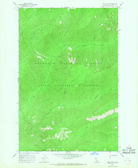
1966 · Twin Butte
USGS Topo · 1:24,000
1966 · Mount Paloma
USGS Topo · 1:24,000