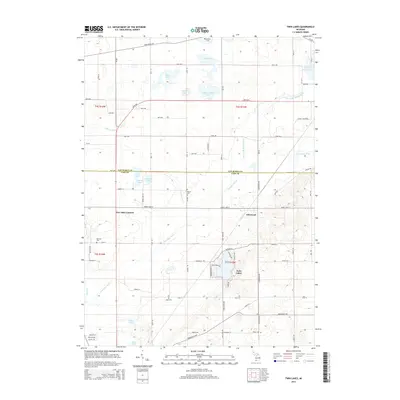
2014 Map of Twin Lakes
USGS Topo · Published 2014About this map
Twin Lakes and the surrounding glacial terrain of Cass and Van Buren counties are defined by a complex drainage network that feeds the Dowagiac River. This 2014 survey documents a predominantly rural landscape where small settlements like Glenwood and Five Mile Corners serve as local hubs for a grid of county roads. The area is dotted with numerous small bodies of water, including Knickerbocker Lake, School Lake, and Pine Lake, many of which are connected by man-made agricultural improvements such as the Lake of the Woods Drain and Osborn Drain. Local history is anchored by several rural burying grounds, including Hamilton Cem, N Wayne Cem, and Red Mill Cem, which reflect the generations of farming families in Wayne and Silver Creek townships. The southern portion of the map showcases the meandering path of the Dowagiac River as it cuts through the marshy lowlands near Cook Lake, illustrating the persistent wetlands that characterize this portion of Michigan.
Find a feature on this map
77 named features on this map. Tap any name to fly to it.
Don’t see what you’re looking for? This feature index may not catch every label — zoom into the map to look around manually.
Map Details
Editions of this 2014 Twin Lakes Map
This is the sole edition of this map. No revisions or reprints were ever made.
Other maps of this area

1927 · Hartford
USGS Topo · 1:62,500

1931 · Hartford
USGS Topo · 1:62,500

1944 · Marcellus
USGS Topo · 1:62,500

1945 · Cassopolis
USGS Topo · 1:62,500

1946 · Marcellus
USGS Topo · 1:62,500

1947 · Cassopolis
USGS Topo · 1:62,500

1948 · Vandalia
USGS Topo · 1:62,500

1949 · Vandalia
USGS Topo · 1:62,500

1953 · Fort Wayne
USGS Topo · 1:250,000

1953 · Chicago
USGS Topo · 1:250,000