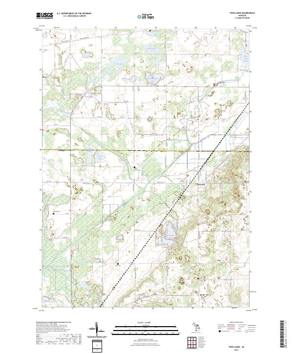
2023 Map of Twin Lakes
USGS Topo · Published 2023About this map
Glenwood serves as the primary hub of activity in this rural landscape, which sits along the border of Van Buren and Cass Counties. The area is defined by a dense network of glacial water bodies, from the prominent Twin Lakes and Lake of the Woods to smaller basins like Knickerbocker Lake, School Lake, and Cook Lake. This intricate hydrology is managed by several artificial channels, including the Dowagiac Drain and Osborn Drain, which lead into the Dowagiac River.
Find a feature on this map
82 named features on this map. Tap any name to fly to it.
Don’t see what you’re looking for? This feature index may not catch every label — zoom into the map to look around manually.
Map Details
Editions of this 2023 Twin Lakes Map
This is the sole edition of this map. No revisions or reprints were ever made.
Other maps of this area

1927 · Hartford
USGS Topo · 1:62,500

1931 · Hartford
USGS Topo · 1:62,500

1944 · Marcellus
USGS Topo · 1:62,500

1945 · Cassopolis
USGS Topo · 1:62,500

1946 · Marcellus
USGS Topo · 1:62,500

1947 · Cassopolis
USGS Topo · 1:62,500

1948 · Vandalia
USGS Topo · 1:62,500

1949 · Vandalia
USGS Topo · 1:62,500

1953 · Fort Wayne
USGS Topo · 1:250,000

1953 · Chicago
USGS Topo · 1:250,000