
2012 Map of Twin Lakes
USGS Topo · Published 2012About this map
Twin Lakes and the surrounding high-country basins define this Mono County landscape during the early 21st century. The map illustrates a high concentration of recreational infrastructure, from the Lower Twin Lakes Resort and Docand Als Resort to numerous campgrounds like Honeymoon Flat Campground and Sawmill Campground. Settlement patterns are concentrated around the water, notably at the Eagle Nest Summer Home Area and Upper Twin Lakes Summer Home Area, while the agricultural legacy of the region remains visible at the Hunewill Ranch on the edge of Bridgeport Valley. Geothermal activity is marked by the Buckeye Hot Spring near the northern boundary. The intricate drainage network of Robinson Cr, Buckeye Cr, and the E Walker River shows how water moves through this terrain, eventually reaching the high-altitude Tamarack Lake at the southern edge of the sheet.
Find a feature on this map
39 named features on this map. Tap any name to fly to it.
Don’t see what you’re looking for? This feature index may not catch every label — zoom into the map to look around manually.
Map Details
Editions of this 2012 Twin Lakes Map
This is the sole edition of this map. No revisions or reprints were ever made.
Other maps of this area
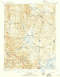
1909 · Bridgeport
USGS Topo · 1:125,000
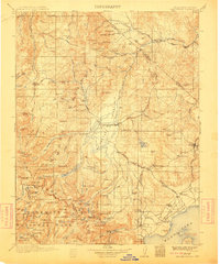
1911 · Bridgeport
USGS Topo · 1:125,000
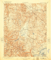
1920 · Bridgeport
USGS Topo · 1:125,000
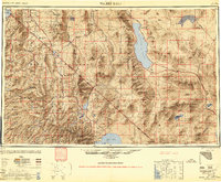
1948 · Walker Lake
USGS Topo · 1:250,000
1954 · Fales Hot Springs
USGS Topo · 1:24,000
1956 · Fales Hot Springs
USGS Topo · 1:62,500
1956 · Matterhorn Peak
USGS Topo · 1:62,500
1957 · Walker Lake
USGS Topo · 1:250,000
1958 · Bodie
USGS Topo · 1:62,500
1958 · Bridgeport
USGS Topo · 1:62,500