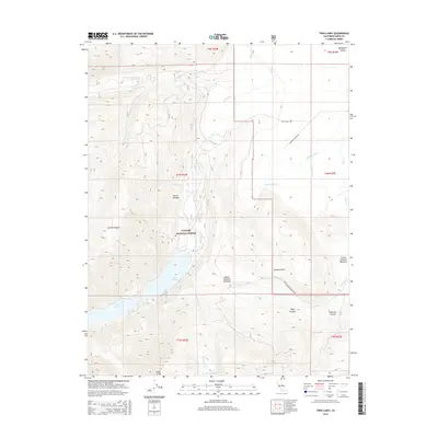
2015 Map of Twin Lakes
USGS Topo · Published 2015About this map
Sierra Nevada topography dominates this high-altitude landscape, where the Toiyabe National Forest encompasses significant water features and meadow systems. The glacial influence is evident in the alignment of the Twin Lakes and the surrounding peaks like Sawmill Ridge and Crater Crest. This 2015 survey shows a terrain defined by steep canyons and drainage networks, most notably Robinson Cr and the E Walker River, which facilitate the irrigation of high-country grazing lands.
Find a feature on this map
30 named features on this map. Tap any name to fly to it.
Don’t see what you’re looking for? This feature index may not catch every label — zoom into the map to look around manually.
Map Details
Editions of this 2015 Twin Lakes Map
This is the sole edition of this map. No revisions or reprints were ever made.
Other maps of this area
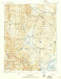
1909 · Bridgeport
USGS Topo · 1:125,000
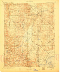
1911 · Bridgeport
USGS Topo · 1:125,000
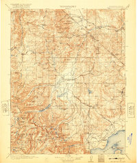
1920 · Bridgeport
USGS Topo · 1:125,000

1948 · Walker Lake
USGS Topo · 1:250,000
1954 · Fales Hot Springs
USGS Topo · 1:24,000
1956 · Fales Hot Springs
USGS Topo · 1:62,500
1956 · Matterhorn Peak
USGS Topo · 1:62,500
1957 · Walker Lake
USGS Topo · 1:250,000
1958 · Bodie
USGS Topo · 1:62,500
1958 · Bridgeport
USGS Topo · 1:62,500