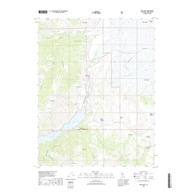
2018 Map of Twin Lakes
USGS Topo · Published 2018About this map
Buckeye Hot Spring and the surrounding high-altitude terrain of the Toiyabe National Forest characterize this part of Mono County. The landscape is defined by dramatic elevation changes, from the depths of Buckeye Canyon to the heights of Crater Crest and Sawmill Ridge. The eponymous Twin Lakes serve as a central geographic anchor, fed by Robinson Cr as it flows toward the Bridgeport Valley. The network of backroads and trails, such as the Hunewill Ranch Rd and the Twin ATV Connector, illustrates the modern recreation and ranching access through Upper Summers Meadows and Lower Summers Meadows. This survey documents the complex drainage system of the Sierra Nevada eastern slope, including the headwaters of the E Walker River and numerous alpine features like Tamarack Lake.
Find a feature on this map
37 named features on this map. Tap any name to fly to it.
Don’t see what you’re looking for? This feature index may not catch every label — zoom into the map to look around manually.
Map Details
Editions of this 2018 Twin Lakes Map
This is the sole edition of this map. No revisions or reprints were ever made.
Other maps of this area
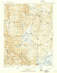
1909 · Bridgeport
USGS Topo · 1:125,000
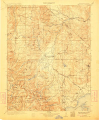
1911 · Bridgeport
USGS Topo · 1:125,000
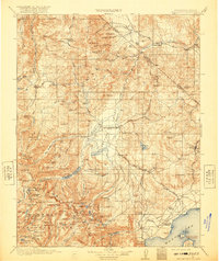
1920 · Bridgeport
USGS Topo · 1:125,000
1948 · Walker Lake
USGS Topo · 1:250,000
1954 · Fales Hot Springs
USGS Topo · 1:24,000
1956 · Fales Hot Springs
USGS Topo · 1:62,500
1956 · Matterhorn Peak
USGS Topo · 1:62,500
1957 · Walker Lake
USGS Topo · 1:250,000
1958 · Bodie
USGS Topo · 1:62,500
1958 · Bridgeport
USGS Topo · 1:62,500