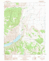
1990 Map of Twin Lakes
USGS Topo · Published 1990About this map
Twin Lakes and the surrounding high-altitude terrain of the eastern Sierra Nevada define this topographic study, where recreation and ranching overlap within the Toiyabe National Forest. The map documents a corridor of seasonal activity along Robinson Creek, featuring a string of campsites including Paha Campground and Honeymoon Flat Campground, alongside the Hunewill Ranch at the edge of Bridgeport Valley.
Find a feature on this map
38 named features on this map. Tap any name to fly to it.
Don’t see what you’re looking for? This feature index may not catch every label — zoom into the map to look around manually.
Map Details
Editions of this 1990 Twin Lakes Map
This is the sole edition of this map. No revisions or reprints were ever made.
Other maps of this area

1909 · Bridgeport
USGS Topo · 1:125,000

1911 · Bridgeport
USGS Topo · 1:125,000

1920 · Bridgeport
USGS Topo · 1:125,000

1948 · Walker Lake
USGS Topo · 1:250,000

1954 · Fales Hot Springs
USGS Topo · 1:24,000

1956 · Fales Hot Springs
USGS Topo · 1:62,500

1956 · Matterhorn Peak
USGS Topo · 1:62,500

1957 · Walker Lake
USGS Topo · 1:250,000

1958 · Bodie
USGS Topo · 1:62,500
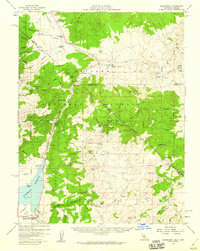
1958 · Bridgeport
USGS Topo · 1:62,500