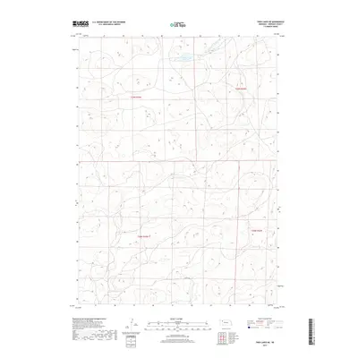
2017 Map of Twin Lakes NE
USGS Topo · Published 2017About this map
Spring Lake sits in the northern reaches of this Sheridan County landscape, where the Sandhills terrain is defined by complex contouring and seasonal water bodies. The presence of Deer Cr flowing through the northeastern corner indicates the drainage patterns typical of this high plains environment. While the area is largely characterized by its natural topography, the appearance of 253th Trl provides a specific point of reference for historical land use and transit in this part of Nebraska. The map detail reflects the Public Land Survey System divisions, documenting the townships of t29n r43w, t29n r42w, t28n r43w, and t28n r42w as they were organized in the early 21st century.
Find a feature on this map
7 named features on this map. Tap any name to fly to it.
Don’t see what you’re looking for? This feature index may not catch every label — zoom into the map to look around manually.
Map Details
Editions of this 2017 Twin Lakes NE Map
This is the sole edition of this map. No revisions or reprints were ever made.
Other maps of this area
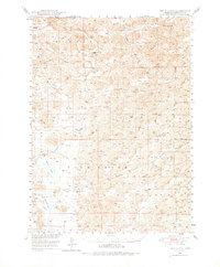
1948 · Twin Lakes
USGS Topo · 1:62,500
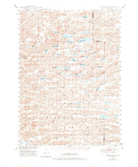
1948 · Spade Ranch
USGS Topo · 1:62,500
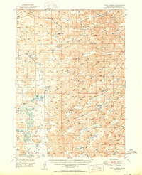
1950 · Twin Lakes
USGS Topo · 1:62,500
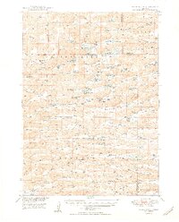
1950 · Spade Ranch
USGS Topo · 1:62,500

1955 · Alliance
USGS Topo · 1:250,000

1957 · Alliance
USGS Topo · 1:250,000

1958 · Alliance
USGS Topo · 1:250,000
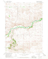
1966 · Rushville SW
USGS Topo · 1:24,000
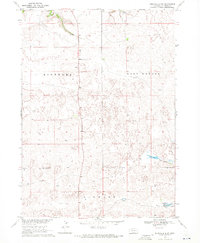
1969 · Rushville 4 SW
USGS Topo · 1:24,000
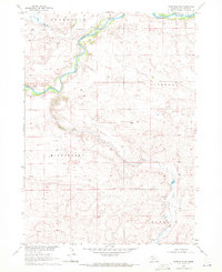
1969 · Rushville SE
USGS Topo · 1:24,000