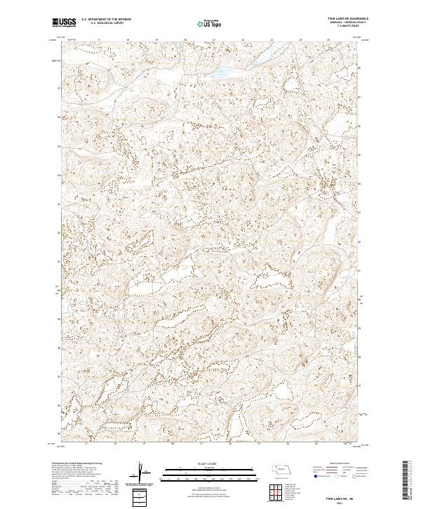
2021 Map of Twin Lakes NE
USGS Topo · Published 2021About this map
Sheridan County's high plains landscape is defined by the undulating dunes of the Nebraska Sandhills, where drainage patterns are often subtle or subterranean. In this 2021 topographic record, surface water is concentrated in the northern portion of the quadrangle at Spring Lake and along the winding course of Deer Cr. This sparsely populated region reflects a strict adherence to the Public Land Survey System, with the terrain partitioned into townships such as T29N R43W and T28N R42W. Human infrastructure is limited to primitive routes like 253th Trl, which navigates the complex depressions and ridges characteristic of this grassland environment. The map illustrates a ranching landscape where natural features dictate the placement of the few existing roads and boundaries.
Find a feature on this map
7 named features on this map. Tap any name to fly to it.
Don’t see what you’re looking for? This feature index may not catch every label — zoom into the map to look around manually.
Map Details
Editions of this 2021 Twin Lakes NE Map
This is the sole edition of this map. No revisions or reprints were ever made.
Other maps of this area

1948 · Twin Lakes
USGS Topo · 1:62,500

1948 · Spade Ranch
USGS Topo · 1:62,500

1950 · Twin Lakes
USGS Topo · 1:62,500

1950 · Spade Ranch
USGS Topo · 1:62,500

1955 · Alliance
USGS Topo · 1:250,000

1957 · Alliance
USGS Topo · 1:250,000

1958 · Alliance
USGS Topo · 1:250,000

1966 · Rushville SW
USGS Topo · 1:24,000

1969 · Rushville 4 SW
USGS Topo · 1:24,000

1969 · Rushville SE
USGS Topo · 1:24,000