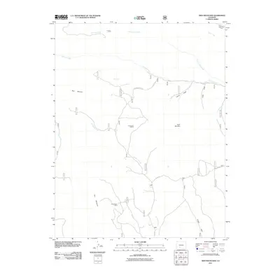
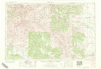
2011 Map of Twin Mountains
USGS Topo · Published 2011About this map
Lost Treasure Diggings and the Penny Bright Mine speak to a legacy of extraction in this Saguache County landscape, where the topography is defined by the massive forms of Blue Mountain and Eagle Mountain. This 2011 survey by the U.S. Geological Survey and U.S. Forest Service captures a high-altitude territory where cattle ranching and mining history overlap, evidenced by the La Garita Corral near the northern boundary.
Find a feature on this map
22 named features on this map. Tap any name to fly to it.
Don’t see what you’re looking for? This feature index may not catch every label — zoom into the map to look around manually.
Map Details
Editions of this 2011 Twin Mountains Map
This is the sole edition of this map. No revisions or reprints were ever made.
Other maps of this area
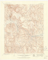
1914 · Creede
USGS Topo · 1:125,000
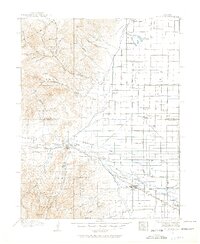
1915 · Del Norte
USGS Topo · 1:125,000
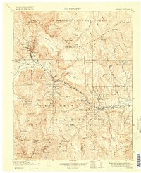
1916 · Creede
USGS Topo · 1:125,000
1917 · Del Norte
USGS Topo · 1:125,000

1945 · Durango
USGS Topo · 1:250,000

1953 · Durango
USGS Topo · 1:250,000
1954 · Durango
USGS Topo · 1:250,000
1961 · Durango
USGS Topo · 1:250,000
1963 · Durango
USGS Topo · 1:250,000
1966 · Durango
USGS Topo · 1:250,000