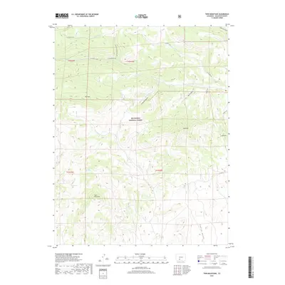
2019 Map of Twin Mountains
USGS Topo · Published 2019About this map
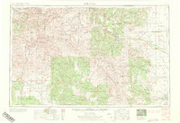
Twin Mountains and the surrounding high-altitude drainage systems of Rio Grande National Forest dominate this landscape in Saguache County. The terrain is defined by a series of significant canyons and gulches, including Cañada Hondo and Uservia Gulch, which channel water toward the south and east. Notable peaks such as Blue Mtn and Eagle Mtn provide orientation points across the rugged elevation changes.
Find a feature on this map
27 named features on this map. Tap any name to fly to it.
Don’t see what you’re looking for? This feature index may not catch every label — zoom into the map to look around manually.
Map Details
Editions of this 2019 Twin Mountains Map
This is the sole edition of this map. No revisions or reprints were ever made.
Other maps of this area
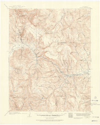
1914 · Creede
USGS Topo · 1:125,000
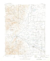
1915 · Del Norte
USGS Topo · 1:125,000
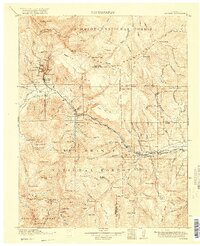
1916 · Creede
USGS Topo · 1:125,000
1917 · Del Norte
USGS Topo · 1:125,000

1945 · Durango
USGS Topo · 1:250,000

1953 · Durango
USGS Topo · 1:250,000
1954 · Durango
USGS Topo · 1:250,000
1961 · Durango
USGS Topo · 1:250,000
1963 · Durango
USGS Topo · 1:250,000
1966 · Durango
USGS Topo · 1:250,000