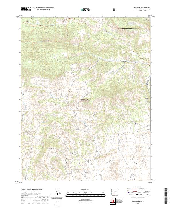
2022 Map of Twin Mountains
USGS Topo · Published 2022About this map
Rio Grande National Forest dominates this Saguache County terrain, defined by high peaks and narrow drainages. The namesake Twin Mountains rise in the southern reaches of the quadrangle, flanked by seasonal water sources such as Ridge Spring and Sunday Spring. The landscape is etched with complex geological features, from the high promontories of Blue Mtn and Eagle Mtn to the distinct formation at La Ventana.
Find a feature on this map
26 named features on this map. Tap any name to fly to it.
Don’t see what you’re looking for? This feature index may not catch every label — zoom into the map to look around manually.
Map Details
Editions of this 2022 Twin Mountains Map
This is the sole edition of this map. No revisions or reprints were ever made.
Other maps of this area

1914 · Creede
USGS Topo · 1:125,000

1915 · Del Norte
USGS Topo · 1:125,000

1916 · Creede
USGS Topo · 1:125,000

1917 · Del Norte
USGS Topo · 1:125,000

1945 · Durango
USGS Topo · 1:250,000

1953 · Durango
USGS Topo · 1:250,000

1954 · Durango
USGS Topo · 1:250,000

1961 · Durango
USGS Topo · 1:250,000

1963 · Durango
USGS Topo · 1:250,000

1966 · Durango
USGS Topo · 1:250,000