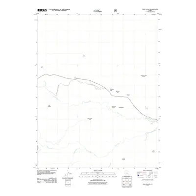
2011 Map of Twin Rocks
USGS Topo · Published 2011About this map
Canyonlands National Park land and high desert formations define this corner of Wayne County, where the erosion of the Colorado Plateau has created a series of distinctive geological landmarks. Natural drainages like Sulphur Creek and the Fremont River carve through the landscape, while ancient uplifts result in features like Meeks Mesa and Cooks Mesa. The transport corridor follows the terrain past named formations including Twin Rocks, Chimney Rock, and the distinctive spire of The Motorman. Local history is embedded in the naming of cattle grazing grounds and lookout points such as Beas Lewis Flats, Whiskey Flat, and the Goosenecks Overlook. The presence of Mummy Cliff and The Castle suggests how early travelers and surveyors interpreted the shapes of the sandstone walls and canyons that dominate the region's geography.
Find a feature on this map
20 named features on this map. Tap any name to fly to it.
Don’t see what you’re looking for? This feature index may not catch every label — zoom into the map to look around manually.
Map Details
Editions of this 2011 Twin Rocks Map
This is the sole edition of this map. No revisions or reprints were ever made.
Other maps of this area
1885 · Fish Lake
USGS Topo · 1:250,000
1896 · Fish Lake
USGS Topo · 1:250,000
1952 · Notom 2 NW
USGS Topo · 1:24,000
1952 · Notom 3 NW
USGS Topo · 1:24,000
1952 · Notom 2 SE
USGS Topo · 1:24,000
1952 · Notom 2 SW
USGS Topo · 1:24,000
1952 · Notom 4 NW
USGS Topo · 1:24,000
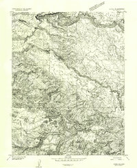
1952 · Notom 2 NE
USGS Topo · 1:24,000
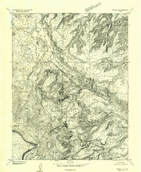
1952 · Notom 3 NE
USGS Topo · 1:24,000
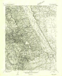
1952 · Notom 1 SW
USGS Topo · 1:24,000