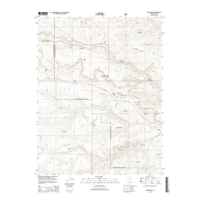
2014 Map of Twin Rocks
USGS Topo · Published 2014About this map
Capitol Reef National Park and the eastern edge of Fishlake National Forest dominate this high-desert terrain, defined by the geological buckling of the Water Pocket Fold. The Fremont River carves through the southern portion of the sheet, providing a vital water source in a landscape of dramatic vertical relief. Significant landmarks such as The Castle, Chimney Rock, and Mummy Cliff rise above the surrounding canyons and flats.
Find a feature on this map
50 named features on this map. Tap any name to fly to it.
Don’t see what you’re looking for? This feature index may not catch every label — zoom into the map to look around manually.
Map Details
Editions of this 2014 Twin Rocks Map
This is the sole edition of this map. No revisions or reprints were ever made.
Other maps of this area
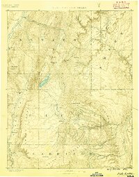
1885 · Fish Lake
USGS Topo · 1:250,000
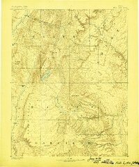
1896 · Fish Lake
USGS Topo · 1:250,000
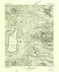
1952 · Notom 2 NW
USGS Topo · 1:24,000
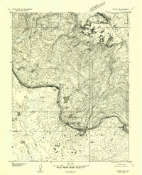
1952 · Notom 3 NW
USGS Topo · 1:24,000
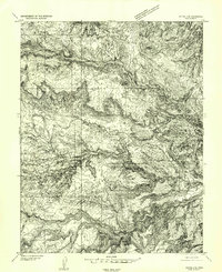
1952 · Notom 2 SE
USGS Topo · 1:24,000
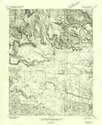
1952 · Notom 2 SW
USGS Topo · 1:24,000
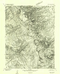
1952 · Notom 4 NW
USGS Topo · 1:24,000
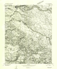
1952 · Notom 2 NE
USGS Topo · 1:24,000
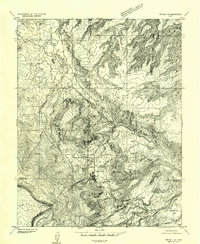
1952 · Notom 3 NE
USGS Topo · 1:24,000
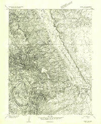
1952 · Notom 1 SW
USGS Topo · 1:24,000