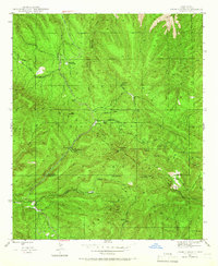
1947 Map of Twin Sisters
USGS Topo · Published 1966About this map
Gila National Forest encompasses this rugged New Mexico landscape, characterized by high peaks and deep canyons in the late 1940s. The region's history of timber harvesting is evident through the marking of Masons Mill and the Saw Mill Ruins along the drainage of Cherry Creek. At this time, the area served as a significant recreational hub, dotted with locations like the Gila Scout Camp, Pine Flats Forest Camp, and McMillan Forest Camp.
Find a feature on this map
33 named features on this map. Tap any name to fly to it.
Don’t see what you’re looking for? This feature index may not catch every label — zoom into the map to look around manually.
Map Details
Editions of this 1947 Twin Sisters Map
2 editions found
Other maps of this area

1909 · Silver City
USGS Topo · 1:125,000

1911 · Alum Mountain
USGS Topo · 1:125,000

1913 · Alum Mountain
USGS Topo · 1:125,000

1937 · Santa Rita
USGS Topo · 1:24,000

1947 · Allie Canyon
USGS Topo · 1:24,000

1947 · Twin Sisters
USGS Topo · 1:24,000

1947 · Fort Bayard
USGS Topo · 1:24,000

1948 · Twin Sisters
USGS Topo · 1:24,000

1948 · Santa Rita
USGS Topo · 1:24,000

1948 · Allie Canyon
USGS Topo · 1:24,000