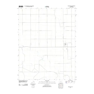
2010 Map of Two Buttes
USGS Topo · Published 2010About this map
Two Buttes serves as the central hub of this High Plains landscape in southeastern Colorado, situated at the junction of several rural thoroughfares. The town's grid is established north of the winding Little Horse Creek, which meanders through the eastern portion of the quadrangle before joining other seasonal drainages. The surrounding terrain is defined by a strictly organized network of section-line roads, including County Road VV to the north and County Road NN to the south, reflecting the region's agricultural layout.
Find a feature on this map
24 named features on this map. Tap any name to fly to it.
Don’t see what you’re looking for? This feature index may not catch every label — zoom into the map to look around manually.
Map Details
Editions of this 2010 Two Buttes Map
This is the sole edition of this map. No revisions or reprints were ever made.
Other maps of this area

1891 · Albany
USGS Topo · 1:125,000

1891 · Springfield
USGS Topo · 1:125,000

1892 · Vilas
USGS Topo · 1:125,000

1892 · Two Butte
USGS Topo · 1:125,000

1893 · Two Butte
USGS Topo · 1:125,000

1893 · Springfield
USGS Topo · 1:125,000

1893 · Albany
USGS Topo · 1:125,000

1955 · La Junta
USGS Topo · 1:250,000

1958 · La Junta
USGS Topo · 1:250,000

1968 · La Junta
USGS Topo · 1:250,000