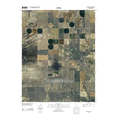
2013 Map of Two Buttes
USGS Topo · Published 2013About this map
Two Buttes serves as the primary focal point of this southeastern Colorado landscape, situated at the intersection of Main St and Co-116. The agricultural character of Baca County is evident in the meticulously surveyed township and range lines, including t028s r044w and t029s r045w, which define the rectangular grid of county roads such as Co Road VV and Co Road 38. Water drainage patterns are dictated by the paths of Sand Creek and Horse Creek, which wind through the terrain alongside Little Horse Creek. A notable modern landmark, Rons Field Airport, sits just south of the main settlement, reflecting the logistical needs of this rural high-plains community. The map provides a clear record of the area's infrastructure, from its primary arterial roads to smaller routes like Co Road MM.8, grounding the region's geography in its early 21st-century configuration.
Find a feature on this map
30 named features on this map. Tap any name to fly to it.
Don’t see what you’re looking for? This feature index may not catch every label — zoom into the map to look around manually.
Map Details
Editions of this 2013 Two Buttes Map
This is the sole edition of this map. No revisions or reprints were ever made.
Other maps of this area
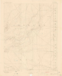
1891 · Albany
USGS Topo · 1:125,000
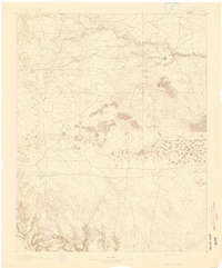
1891 · Springfield
USGS Topo · 1:125,000
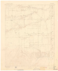
1892 · Vilas
USGS Topo · 1:125,000
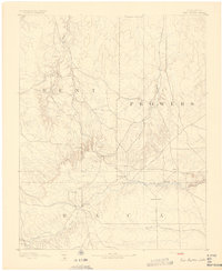
1892 · Two Butte
USGS Topo · 1:125,000
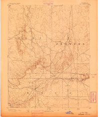
1893 · Two Butte
USGS Topo · 1:125,000
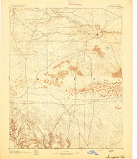
1893 · Springfield
USGS Topo · 1:125,000
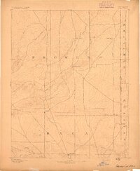
1893 · Albany
USGS Topo · 1:125,000

1955 · La Junta
USGS Topo · 1:250,000

1958 · La Junta
USGS Topo · 1:250,000

1968 · La Junta
USGS Topo · 1:250,000