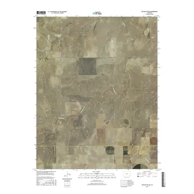
2016 Map of Two Buttes NW
USGS Topo · Published 2016About this map
The Hamilton Cem stands as a lonely landmark in the northwest corner of this township grid, located just off Co RD 16 and Co RD F. This high plains landscape is defined by the sharp, winding incision of Two Butte Cr, which carves a deep meandering path across the central part of the quadrangle. Smaller drainages including N Butte Cr and Little Bear Cr feed into the regional watershed, highlighting the importance of these water sources in an otherwise arid grazing and agricultural environment.
Find a feature on this map
25 named features on this map. Tap any name to fly to it.
Don’t see what you’re looking for? This feature index may not catch every label — zoom into the map to look around manually.
Map Details
Editions of this 2016 Two Buttes NW Map
This is the sole edition of this map. No revisions or reprints were ever made.
Other maps of this area
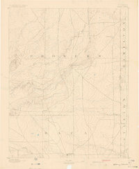
1891 · Albany
USGS Topo · 1:125,000
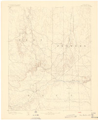
1892 · Two Butte
USGS Topo · 1:125,000
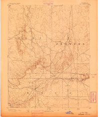
1893 · Two Butte
USGS Topo · 1:125,000
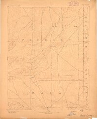
1893 · Albany
USGS Topo · 1:125,000

1955 · La Junta
USGS Topo · 1:250,000

1958 · La Junta
USGS Topo · 1:250,000

1968 · La Junta
USGS Topo · 1:250,000
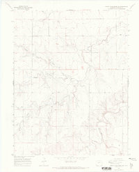
1968 · North Plum Creek SE
USGS Topo · 1:24,000
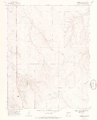
1968 · Gobblers Knob
USGS Topo · 1:24,000
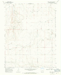
1968 · Barrel Spring
USGS Topo · 1:24,000