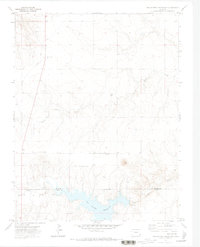
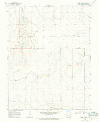
1971 Map of Two Buttes Reservoir
USGS Topo · Published 1973About this map
The high plains of Southeast Colorado are defined here by the meeting of the Prowers Co and Baca Co line, where the waters of Two Butte Creek are impounded to form the Two Buttes Reservoir. This early 1970s survey captures a rural landscape shaped by small communities and livestock infrastructure. Settlements like Nola, Wilde, and Pleasant Heights dot the terrain, with the latter serving as a local anchor through the Pleasant Heights Ch.
Find a feature on this map
16 named features on this map. Tap any name to fly to it.
Don’t see what you’re looking for? This feature index may not catch every label — zoom into the map to look around manually.
Map Details
Editions of this 1971 Two Buttes Reservoir Map
2 editions found
Other maps of this area

1891 · Albany
USGS Topo · 1:125,000

1892 · Two Butte
USGS Topo · 1:125,000

1893 · Two Butte
USGS Topo · 1:125,000

1893 · Albany
USGS Topo · 1:125,000

1955 · La Junta
USGS Topo · 1:250,000

1958 · La Junta
USGS Topo · 1:250,000

1968 · La Junta
USGS Topo · 1:250,000
1968 · Cat Creek
USGS Topo · 1:24,000
1968 · Gobblers Knob
USGS Topo · 1:24,000
1968 · Barrel Spring
USGS Topo · 1:24,000