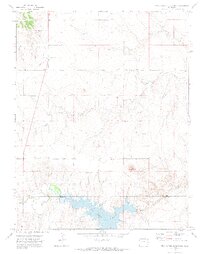
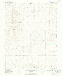
1971 Map of Two Buttes Reservoir
USGS Topo · Published 1973About this map
Two Buttes Reservoir dominates the southern portion of this landscape, straddling the boundary between Prowers and Baca counties. In the early 1970s, this region of the High Plains was characterized by a sparse settlement pattern connected by a jeep trail and several unimproved roads. The iconic Two Buttes landmark rises to the north of the water, overlooking the confluence area where North Butte Creek and Two Butte Creek approach the reservoir basin.
Find a feature on this map
15 named features on this map. Tap any name to fly to it.
Don’t see what you’re looking for? This feature index may not catch every label — zoom into the map to look around manually.
Map Details
Editions of this 1971 Two Buttes Reservoir Map
2 editions found
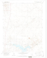
Other maps of this area

1891 · Albany
USGS Topo · 1:125,000

1892 · Two Butte
USGS Topo · 1:125,000

1893 · Two Butte
USGS Topo · 1:125,000

1893 · Albany
USGS Topo · 1:125,000

1955 · La Junta
USGS Topo · 1:250,000

1958 · La Junta
USGS Topo · 1:250,000

1968 · La Junta
USGS Topo · 1:250,000
1968 · Cat Creek
USGS Topo · 1:24,000
1968 · Gobblers Knob
USGS Topo · 1:24,000
1968 · Barrel Spring
USGS Topo · 1:24,000