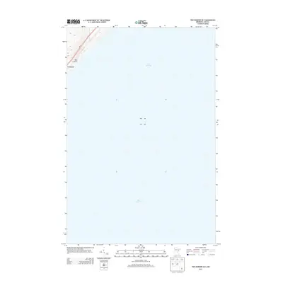
2013 Map of Two Harbors OE S
USGS Topo · Published 2013About this map
Lake Superior dominates this coastal survey, where the North Shore terrain of Lake County meets the water. The settlement of Larsmont occupies the narrow strip of land between the shoreline and the upland topography, centered along the vital transportation corridor of MN-61. This map illustrates the intersection of local recreation and regional transit, as seen at the Wagon Wheel Campground. The elevation contours indicate a steep rise from the water's edge, a characteristic geographic trait of this stretch of the Minnesota coastline. Because the vast majority of the quadrangle covers the lake itself, the map provides a precise look at the specific bathymetric boundary and the small pocket of residential and seasonal development that defines this coastal community.
Find a feature on this map
4 named features on this map. Tap any name to fly to it.
Don’t see what you’re looking for? This feature index may not catch every label — zoom into the map to look around manually.
Map Details
Editions of this 2013 Two Harbors OE S Map
This is the sole edition of this map. No revisions or reprints were ever made.
Other maps of this area

1953 · Knife River
USGS Topo · 1:24,000

1953 · Ashland
USGS Topo · 1:250,000

1954 · Mc Carthy Creek
USGS Topo · 1:24,000

1954 · Two Harbors
USGS Topo · 1:250,000

1957 · Two Harbors
USGS Topo · 1:250,000

1957 · Two Harbors
USGS Topo · 1:62,500

1957 · Two Harbors
USGS Topo · 1:24,000

1957 · Castle Danger
USGS Topo · 1:24,000

1958 · Ashland
USGS Topo · 1:250,000

1958 · Two Harbors
USGS Topo · 1:250,000