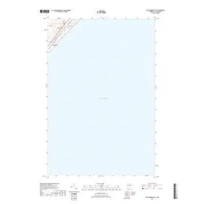
2019 Map of Two Harbors OE S
USGS Topo · Published 2019About this map
Larsmont occupies the northwest corner of this coastal survey, situated where the northern woods meet the vast expanse of Lake Superior. The landscape reflects the transition of Lake County’s shoreline into a modern residential and recreational corridor, anchored by historic transportation routes. Local transit is defined by the parallel paths of Scenic Dr and Co Rd 101, which trace the shoreline alongside Old Hwy 61. The residential character of the area is further evidenced by local connectors such as Braemar Ln, Jackson Rd, and Old N Shore Ct. This map is primarily an aquatic study, capturing the open waters of the lake as they appeared in the late 2010s.
Find a feature on this map
9 named features on this map. Tap any name to fly to it.
Don’t see what you’re looking for? This feature index may not catch every label — zoom into the map to look around manually.
Map Details
Editions of this 2019 Two Harbors OE S Map
This is the sole edition of this map. No revisions or reprints were ever made.
Other maps of this area

1953 · Knife River
USGS Topo · 1:24,000

1953 · Ashland
USGS Topo · 1:250,000

1954 · Mc Carthy Creek
USGS Topo · 1:24,000

1954 · Two Harbors
USGS Topo · 1:250,000

1957 · Two Harbors
USGS Topo · 1:250,000

1957 · Two Harbors
USGS Topo · 1:62,500

1957 · Two Harbors
USGS Topo · 1:24,000

1957 · Castle Danger
USGS Topo · 1:24,000

1958 · Ashland
USGS Topo · 1:250,000

1958 · Two Harbors
USGS Topo · 1:250,000