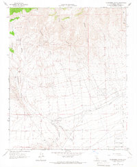
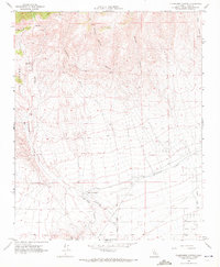
1965 Map of Tylerhorse Canyon
USGS Topo · Published 1966About this map
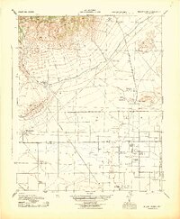
Tylerhorse Canyon and Gamble Canyon carve through the northern terrain of this 1965 Kern County survey, documenting the arid landscape before modern expansion. The southern portion of the sheet reveals the infrastructure of the Los Angeles Aqueduct, a critical lifeline for Southern California water management that cuts across the foothills of the Antelope Valley. This area shows a transition from the drainage systems of Cottonwood Creek and Bean Canyon to early residential and agricultural plotting.
Find a feature on this map
18 named features on this map. Tap any name to fly to it.
Don’t see what you’re looking for? This feature index may not catch every label — zoom into the map to look around manually.
Map Details
Editions of this 1965 Tylerhorse Canyon Map
2 editions found
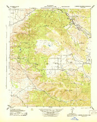
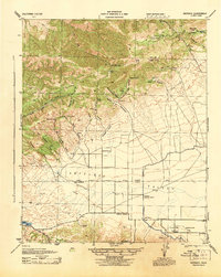
Other maps of this area

1903 · Tejon
USGS Topo · 1:125,000

1914 · Caliente
USGS Topo · 1:125,000

1915 · Elizabeth Lake
USGS Topo · 1:125,000

1915 · Mojave
USGS Topo · 1:125,000

1917 · Elizabeth Lake
USGS Topo · 1:125,000

1943 · Tehachapi
USGS Topo · 1:62,500
1943 · Cummings Mountain
USGS Topo · 1:62,500
1943 · Neenach
USGS Topo · 1:62,500
1943 · Willow Springs
USGS Topo · 1:62,500

1948 · Bakersfield
USGS Topo · 1:250,000