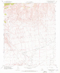
1965 Map of Tylerhorse Canyon
USGS Topo · Published 1972About this map
West Antelope Station marks a key point of transition where the steep, canyon-cut slopes of La Liebre meet the western edge of the desert floor. This 1960s survey illustrates the critical infrastructure of the high desert, most notably the Los Angeles Aqueduct winding across the southern landscape. The terrain is defined by dramatic drainage systems including Tylerhorse Canyon, Gamble Canyon, and Cottonwood Creek, which have shaped the settlement patterns of this arid region.
Find a feature on this map
24 named features on this map. Tap any name to fly to it.
Don’t see what you’re looking for? This feature index may not catch every label — zoom into the map to look around manually.
Map Details
Editions of this 1965 Tylerhorse Canyon Map
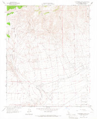
2 editions found
Other maps of this area

1903 · Tejon
USGS Topo · 1:125,000

1914 · Caliente
USGS Topo · 1:125,000

1915 · Elizabeth Lake
USGS Topo · 1:125,000

1915 · Mojave
USGS Topo · 1:125,000

1917 · Elizabeth Lake
USGS Topo · 1:125,000

1943 · Tehachapi
USGS Topo · 1:62,500

1943 · Cummings Mountain
USGS Topo · 1:62,500

1943 · Neenach
USGS Topo · 1:62,500

1943 · Willow Springs
USGS Topo · 1:62,500

1948 · Bakersfield
USGS Topo · 1:250,000