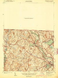
1941 Map of Tyngsboro
USGS Topo · Published 1941About this map
The Merrimack River carves a dominant path through this landscape, defining the industrial and social development of Tyngsboro and North Chelmsford on the eve of World War II. The Boston and Maine Railroad follows the river's western bank, serving as the primary corridor for movement between the riverside settlements and larger textile hubs. Away from the water, the terrain is dotted with small agricultural clusters and family-named intersections such as Flints Corner and Whidden Corner, illustrating a pre-suburban New England pattern of rural neighborhoods.
Find a feature on this map
94 named features on this map. Tap any name to fly to it.
Don’t see what you’re looking for? This feature index may not catch every label — zoom into the map to look around manually.
Map Details
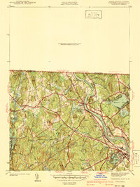
Editions of this 1941 Tyngsboro Map
2 editions found
Other maps of this area

1886 · Lowell
USGS Topo · 1:62,500

1893 · Lowell
USGS Topo · 1:62,500

1893 · Groton
USGS Topo · 1:62,500

1905 · Manchester
USGS Topo · 1:62,500

1906 · Milford
USGS Topo · 1:62,500

1918 · Lowell
USGS Topo · 1:62,500

1921 · Lowell
USGS Topo · 1:62,500

1931 · Lowell
USGS Topo · 1:48,000

1931 · Groton
USGS Topo · 1:48,000

1935 · Ayer
USGS Topo · 1:24,000