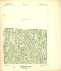
1940 Map of Tyngsoboro
USGS Topo · Published 1940About this map
The Merrimack River carves a dramatic path through the center of this 1939 survey, defining the industrial and social character of the region as it heads toward the 1940s. Along the river's eastern bend, Tyngs Island and the Vesper Country Club mark a landscape of early 20th-century recreation, while the Boston and Maine RR hugs the western bank, connecting the village of Tyngsboro with the manufacturing hub at North Chelmsford.
Find a feature on this map
65 named features on this map. Tap any name to fly to it.
Don’t see what you’re looking for? This feature index may not catch every label — zoom into the map to look around manually.
Map Details
Editions of this 1940 Tyngsoboro Map
This is the sole edition of this map. No revisions or reprints were ever made.
Other maps of this area

1886 · Lowell
USGS Topo · 1:62,500

1893 · Lowell
USGS Topo · 1:62,500

1893 · Groton
USGS Topo · 1:62,500

1905 · Manchester
USGS Topo · 1:62,500

1906 · Milford
USGS Topo · 1:62,500

1918 · Lowell
USGS Topo · 1:62,500

1921 · Lowell
USGS Topo · 1:62,500

1931 · Lowell
USGS Topo · 1:48,000

1931 · Groton
USGS Topo · 1:48,000

1935 · Ayer
USGS Topo · 1:24,000