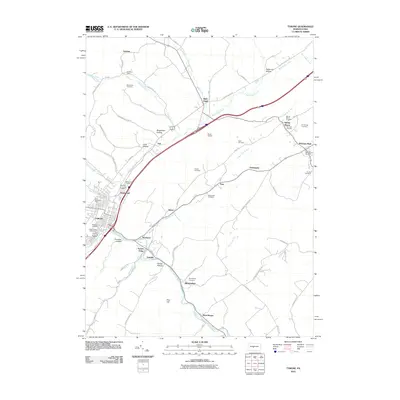
2010 Map of Tyrone
USGS Topo · Published 2010About this map
Tyrone serves as the industrial and population hub of this region, situated at the confluence of Little Juniata River and Bald Eagle Creek. The settlement pattern reflects a deep history of industry and transportation, with rail-aligned communities like Northwood, Nealmont, and Tyrone Forge following the river valleys. A dense concentration of family and community burial grounds, such as Grazier Cemetery and Branstetter Cemetery, provides significant data for genealogists tracing early Blair and Huntingdon County lineages.
Find a feature on this map
80 named features on this map. Tap any name to fly to it.
Don’t see what you’re looking for? This feature index may not catch every label — zoom into the map to look around manually.
Map Details
Editions of this 2010 Tyrone Map
This is the sole edition of this map. No revisions or reprints were ever made.
Other maps of this area

1903 · Houtzdale
USGS Topo · 1:62,500

1905 · Houtzdale
USGS Topo · 1:62,500

1920 · Altoona
USGS Topo · 1:62,500

1922 · Philipsburg
USGS Topo · 1:62,500

1922 · Altoona
USGS Topo · 1:62,500

1923 · Tyrone
USGS Topo · 1:62,500

1929 · Tyrone
USGS Topo · 1:48,000

1933 · Tyrone
USGS Topo · 1:62,500

1939 · Philipsburg
USGS Topo · 1:62,500

1944 · Houtzdale
USGS Topo · 1:24,000
Featured Places
- Tyrone, PA
- Warriors Mark Township, PA
- Spruce Creek Township, PA
- Birmingham, PA
- Spring Mount, Warriors Mark Township