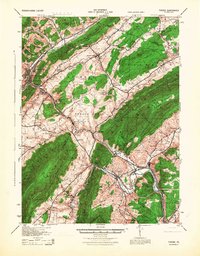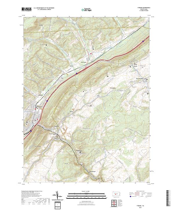
2023 Map of Tyrone
USGS Topo · Published 2023About this map
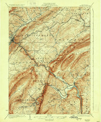
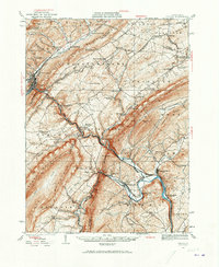
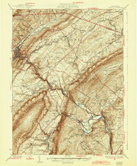
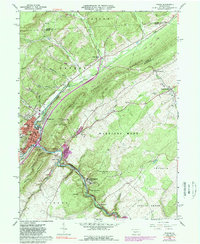
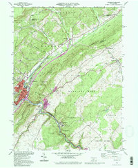
The Little Juniata River carves a deep path through the Ridge-and-Valley province, anchoring a series of industrial and residential settlements including Tyrone, Tyrone Forge, and Birmingham. The landscape is dominated by the massive ridge of Bald Eagle Mountain, which separates the river valley from the plateau-like terrain of the Centre and Blair county border. This modern survey illustrates how historically significant gaps and hollows, such as Plummers Hollow and California Hollow, continue to dictate the transportation corridors of the region.
Find a feature on this map
95 named features on this map. Tap any name to fly to it.
Don’t see what you’re looking for? This feature index may not catch every label — zoom into the map to look around manually.
Map Details
Editions of this 2023 Tyrone Map
This is the sole edition of this map. No revisions or reprints were ever made.
Historical Maps of Franklin Township Through Time
8 maps found