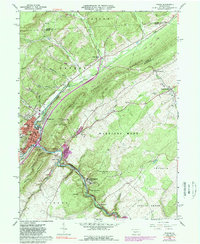
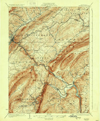
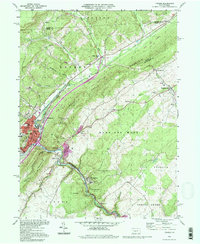
1963 Map of Tyrone
USGS Topo · Published 1989About this map
The industrial and rail hub of Tyrone anchors this portion of Central Pennsylvania, where the Little Junia Ta River and Bald Eagle Creek meet at the base of Bald Eagle Mountain. The map shows a landscape defined by the Conrail rail corridor and a series of tight valleys and ridges, including Brush Mountain and Pine Hill. Smaller settlements such as Birmingham, Ironville, and Tyrone Forge follow the river's winding path, while Warriors Mark and Spring Mount occupy the more open agricultural lands to the east. Local history is documented through the presence of several cemeteries, including Grandview Cem and Birmingham Cem, alongside early civic structures like the Adams Sch and Township Sch. The presence of a Quarry and Gravel Pit indicates the era's reliance on local natural resources, while large tracts of State Game Lands No 278 preserve the wooded heights above the valley floor.
Find a feature on this map
55 named features on this map. Tap any name to fly to it.
Don’t see what you’re looking for? This feature index may not catch every label — zoom into the map to look around manually.
Map Details
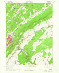
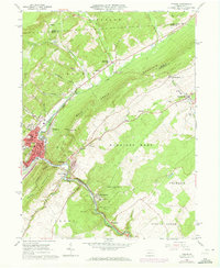
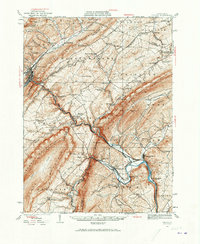
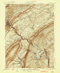
Editions of this 1963 Tyrone Map
4 editions found
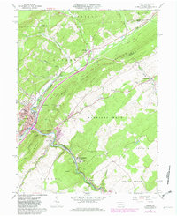
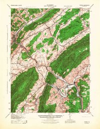
Historical Maps of Tyrone Through Time
8 maps found

Featured Locations
- Birmingham, PA
- Warriors Mark Township, PA
- Spruce Creek Township, PA
- Tyrone, PA
- Tyrone Forge, Snyder Township