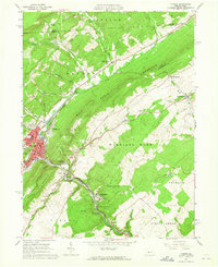
1963 Map of Tyrone
USGS Topo · Published 1965About this map
The Little Juniata River carves a path through the ridge-and-valley terrain of central Pennsylvania, anchoring a dense corridor of industry and transport in the early 1960s. The city of Tyrone serves as the regional hub, where the Pennsylvania Railroad intersects with local life near Adams Sch and Lincoln Sch. The landscape is defined by the massive wall of Bald Eagle Mountain, which separates the industrial activity of the river valley from the agricultural plateaus of Warriors Mark. Small enclaves like Tyrone Forge and Birmingham highlight the area's manufacturing roots, while the presence of State Game Lands No 131 and Camp Anderson reflects the era's balance between development and conservation. Genealogists will find notable landmarks such as Baughman Cem and the Grier Sch, providing specific points of reference for local family histories.
Find a feature on this map
64 named features on this map. Tap any name to fly to it.
Don’t see what you’re looking for? This feature index may not catch every label — zoom into the map to look around manually.
Map Details
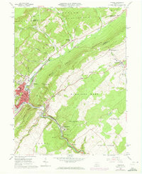
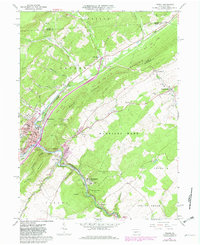
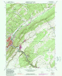
Editions of this 1963 Tyrone Map
4 editions found
Other maps of this area

1903 · Houtzdale
USGS Topo · 1:62,500

1905 · Houtzdale
USGS Topo · 1:62,500

1920 · Altoona
USGS Topo · 1:62,500

1922 · Philipsburg
USGS Topo · 1:62,500

1922 · Altoona
USGS Topo · 1:62,500

1923 · Tyrone
USGS Topo · 1:62,500

1929 · Tyrone
USGS Topo · 1:48,000

1933 · Tyrone
USGS Topo · 1:62,500

1939 · Philipsburg
USGS Topo · 1:62,500

1944 · Houtzdale
USGS Topo · 1:24,000
Featured Places
- Tyrone, PA
- Warriors Mark Township, PA
- Spruce Creek Township, PA
- Birmingham, PA
- Tyrone Forge, Snyder Township