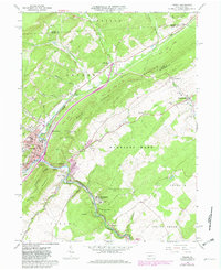
1963 Map of Tyrone
USGS Topo · Published 1982About this map
Industrial and transport networks converge at Tyrone where the Little Juniata River carves a path through the formidable ridges of Bald Eagle Mountain and Brush Mountain. The 1960s landscape, updated through the late 1970s, reveals a high density of rail activity with the Conrail lines branching through the river gaps, including segments marked as 3 Tracks and 2 Tracks near Tyrone Forge.
Find a feature on this map
65 named features on this map. Tap any name to fly to it.
Don’t see what you’re looking for? This feature index may not catch every label — zoom into the map to look around manually.
Map Details
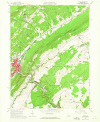
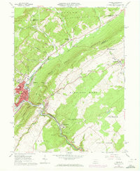
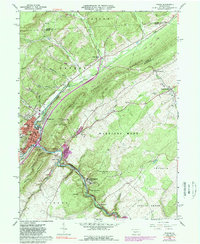
Editions of this 1963 Tyrone Map
4 editions found
Other maps of this area

1903 · Houtzdale
USGS Topo · 1:62,500

1905 · Houtzdale
USGS Topo · 1:62,500

1920 · Altoona
USGS Topo · 1:62,500

1922 · Philipsburg
USGS Topo · 1:62,500

1922 · Altoona
USGS Topo · 1:62,500

1923 · Tyrone
USGS Topo · 1:62,500

1929 · Tyrone
USGS Topo · 1:48,000

1933 · Tyrone
USGS Topo · 1:62,500

1939 · Philipsburg
USGS Topo · 1:62,500

1944 · Houtzdale
USGS Topo · 1:24,000
Featured Places
- Tyrone, PA
- Warriors Mark Township, PA
- Spruce Creek Township, PA
- Birmingham, PA
- Tyrone Forge, Snyder Township