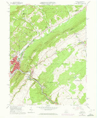
1963 Map of Tyrone
USGS Topo · Published 1973About this map
The Little Juniata River and Bald Eagle Creek converge in this mid-century portrait of central Pennsylvania's industrial corridor. At the heart of the region, Tyrone shows its developed street grid, featuring the Adams Sch and Lincoln Sch along with extensive rail infrastructure. The Penn Central line dictates the movement of the valley, passing through Tyrone Forge and Ironville as it follows the river's bend.
Find a feature on this map
64 named features on this map. Tap any name to fly to it.
Don’t see what you’re looking for? This feature index may not catch every label — zoom into the map to look around manually.
Map Details
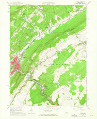
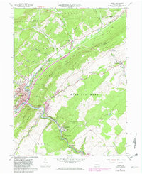
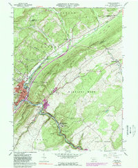
Editions of this 1963 Tyrone Map
4 editions found
Other maps of this area

1903 · Houtzdale
USGS Topo · 1:62,500

1905 · Houtzdale
USGS Topo · 1:62,500

1920 · Altoona
USGS Topo · 1:62,500

1922 · Philipsburg
USGS Topo · 1:62,500

1922 · Altoona
USGS Topo · 1:62,500

1923 · Tyrone
USGS Topo · 1:62,500

1929 · Tyrone
USGS Topo · 1:48,000

1933 · Tyrone
USGS Topo · 1:62,500

1939 · Philipsburg
USGS Topo · 1:62,500

1944 · Houtzdale
USGS Topo · 1:24,000
Featured Places
- Tyrone, PA
- Warriors Mark Township, PA
- Spruce Creek Township, PA
- Birmingham, PA
- Tyrone Forge, Snyder Township