Loading...
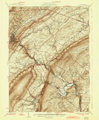
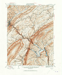
Loading map...1933 Map of Tyrone
USGS Topo · Published 1944About this map
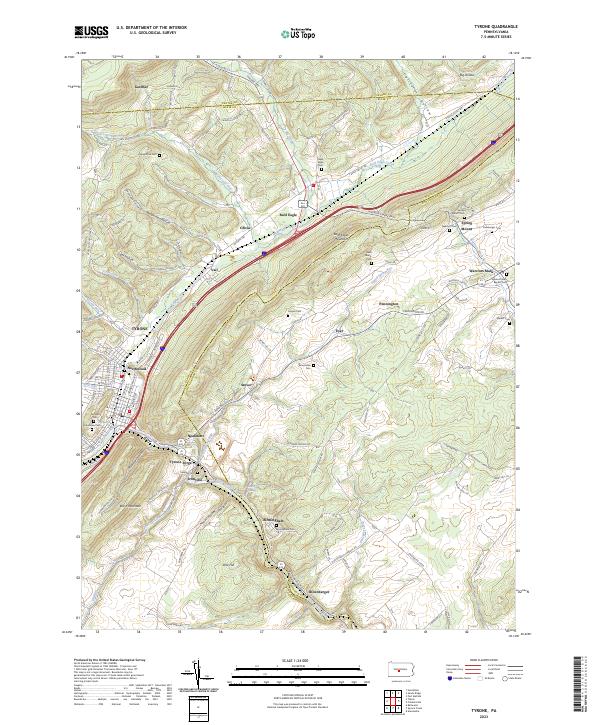
The Barrens and the steep ridges of the central Pennsylvania landscape define this 1933 topographical study. The Pennsylvania railroad follows the winding course of the Little Juniata River, connecting industrial hubs like Tyrone and Birmingham to the surrounding agricultural valleys. This era shows a high density of rural infrastructure, from the Huntingdon Furnace and Grazier Mill to numerous one-room schoolhouses like Cabin Ford Sch and Mountain Orchard Sch that served isolated upland communities.
Find a feature on this map
114 named features on this map. Tap any name to fly to it.
Don’t see what you’re looking for? This feature index may not catch every label — zoom into the map to look around manually.
Map Details
Date Portrayed1933
Date Published1944
PublisherU.S. Geological Survey
Map TypeTopographic
Scale1:62,500
Physical Dimensions16.5 x 20 inches
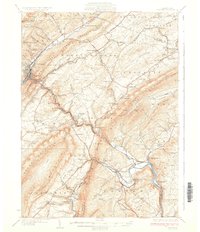
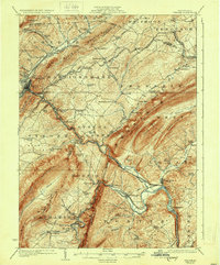
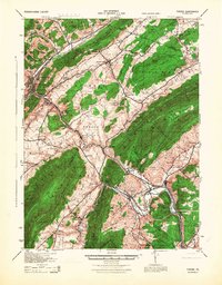
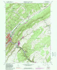
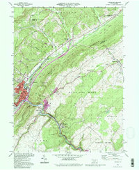
Editions of this 1933 Tyrone Map
3 editions found
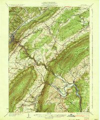
Historical Maps of Frankstown Township Through Time
8 maps found

Featured Locations
Source Details
SourceU.S. Geological Survey
CopyrightPublic Domain