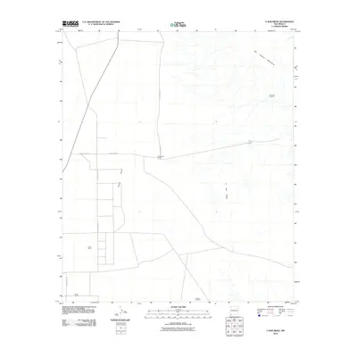
2010 Map of U Bar Ridge
USGS Topo · Published 2010About this map
The Playas Valley and its high desert rangelands dominate this New Mexico survey, reflecting the remote ranching landscape of the southwestern borderlands. Family-named outposts such as Robertsons Ranch, Keiths Ranch, and Mosse Ranch are connected by a sparse network of county roads, including County Rd-C011, serving as focal points for local history and genealogy in this arid basin.
Find a feature on this map
12 named features on this map. Tap any name to fly to it.
Don’t see what you’re looking for? This feature index may not catch every label — zoom into the map to look around manually.
Map Details
Editions of this 2010 U Bar Ridge Map
This is the sole edition of this map. No revisions or reprints were ever made.
Other maps of this area

1917 · Antelope Wells
USGS Topo · 1:62,500

1918 · Big Hatchet Peak
USGS Topo · 1:62,500

1918 · Dog Mountains
USGS Topo · 1:62,500

1918 · Walnut Wells
USGS Topo · 1:62,500

1919 · Antelope Wells
USGS Topo · 1:62,500

1923 · Walnut Wells
USGS Topo · 1:62,500

1955 · Douglas
USGS Topo · 1:250,000

1959 · Douglas
USGS Topo · 1:250,000

1961 · Douglas
USGS Topo · 1:250,000

1964 · Douglas
USGS Topo · 1:250,000