2023 Map of U Bar Ridge
USGS Topo · Published 2023About this map
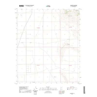
Big Hatchet Mountains and the prominent U Bar Ridge dominate this corner of Hidalgo County, where the high desert terrain meets the eastern edge of the Playas Valley. The map documents a sparse landscape defined by water sources and industrial exploration, such as the Humble Oil and Refining Number 1 site in the southern section. This industrial marker provides a rare point of reference in an area otherwise characterized by natural landmarks and basic rural infrastructure. To the northwest, the Las Cienegas Spring and Big Tank highlight the critical role of water management in this arid environment. A network of county routes, including Co RD c010 and Co RD c013, suggests the continued use of this land for ranching and resource management as it appeared in recent years.
Find a feature on this map
14 named features on this map. Tap any name to fly to it.
Don’t see what you’re looking for? This feature index may not catch every label — zoom into the map to look around manually.
Map Details
Editions of this 2023 U Bar Ridge Map
This is the sole edition of this map. No revisions or reprints were ever made.
Other maps of this area

1917 · Antelope Wells
USGS Topo · 1:62,500

1918 · Big Hatchet Peak
USGS Topo · 1:62,500

1918 · Dog Mountains
USGS Topo · 1:62,500

1918 · Walnut Wells
USGS Topo · 1:62,500

1919 · Antelope Wells
USGS Topo · 1:62,500

1923 · Walnut Wells
USGS Topo · 1:62,500

1955 · Douglas
USGS Topo · 1:250,000

1959 · Douglas
USGS Topo · 1:250,000

1961 · Douglas
USGS Topo · 1:250,000

1964 · Douglas
USGS Topo · 1:250,000