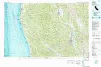
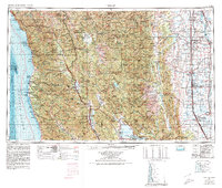
1981 Map of Ukiah
USGS Topo · Published 1987About this map
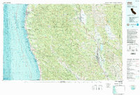
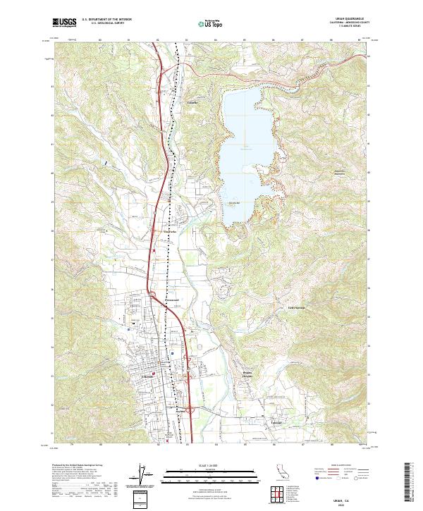
Ukiah serves as the inland anchor for this 1980s landscape, where the Russian River flows through a valley defined by the Mayacmas Mountains and the Anderson Valley. This map illustrates the transition from the timber-rich highlands of the Jackson State Forest to the rugged Pacific coastline. Along the shore, the Point Cabrillo Light Station marks a treacherous stretch of sea between the coastal settlements of Fort Bragg and Mendocino.
Find a feature on this map
53 named features on this map. Tap any name to fly to it.
Don’t see what you’re looking for? This feature index may not catch every label — zoom into the map to look around manually.
Map Details
Editions of this 1981 Ukiah Map
3 editions found

Historical Maps of Ukiah Through Time
11 maps found

1920 Ukiah
Mendocino County, CA

1944 Ukiah
Mendocino County, CA
1957 Ukiah
Mendocino County, CA
1958 Ukiah
Mendocino County, CA
1958 Ukiah
Mendocino County, CA

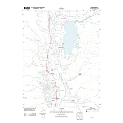
1960 Ukiah
Mendocino County, CA
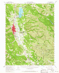
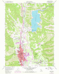
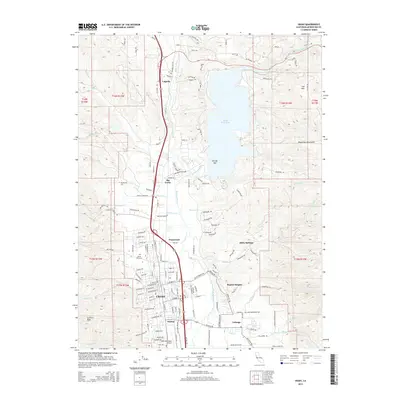
1981 Ukiah
Mendocino County, CA
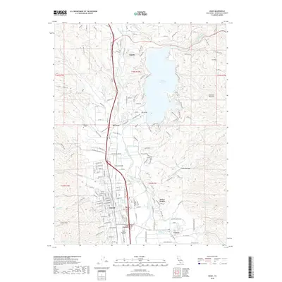
2012 Ukiah
Mendocino County, CA
2015 Ukiah
Mendocino County, CA
2018 Ukiah
Mendocino County, CA
2022 Ukiah
Mendocino County, CA