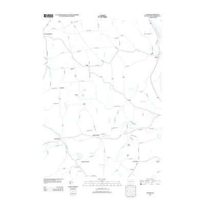
2013 Map of Ulster
USGS Topo · Published 2013About this map
The Susquehanna River defines the eastern edge of this Bradford County landscape, where the settlement of Ulster sits along the riverbank across from Toad Hollow. The terrain is shaped by numerous watercourses including Sugar Cr, which flows past Burlington and Luthers Mills, and Browns Cr winding through the center of the quadrangle. This area of Pennsylvania reflects a long-standing agricultural and rural residential pattern, connected by historic thoroughfares like the Berwick Tpke.
Find a feature on this map
91 named features on this map. Tap any name to fly to it.
Don’t see what you’re looking for? This feature index may not catch every label — zoom into the map to look around manually.
Map Details
Editions of this 2013 Ulster Map
This is the sole edition of this map. No revisions or reprints were ever made.
Other maps of this area

1923 · Towanda
USGS Topo · 1:62,500

1926 · Towanda
USGS Topo · 1:62,500

1939 · Sayre
USGS Topo · 1:62,500

1942 · Sayre
USGS Topo · 1:62,500

1943 · Towanda
USGS Topo · 1:62,500

1943 · Monroeton
USGS Topo · 1:62,500

1943 · Powell
USGS Topo · 1:62,500

1945 · Powell
USGS Topo · 1:62,500

1948 · Sayre
USGS Topo · 1:62,500

1954 · Williamsport
USGS Topo · 1:250,000
Featured Places
- Sheshequin Township, PA
- Ulster Township, PA
- North Towanda Township, PA
- West Burlington Township, PA
- Burlington, PA