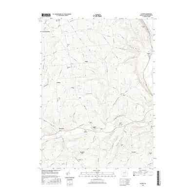
2016 Map of Ulster
USGS Topo · Published 2016About this map
Luthers Mills and Ulster anchor this 2016 view of the Pennsylvania countryside, where the Susquehanna River curves through the eastern edge of the quadrangle. The landscape is defined by its rural valley floors and upland ridges, with Sugar Creek and Bailey Run carving through the terrain. A notable concentration of small burial grounds, such as the James Campbell Family Cem and the Pail Factory Cem, offers significant detail for genealogical research. The road network preserves historical corridors like the Berwick Tpke, while newer landmarks like the Bradford County Memorial Park and Cash Creek Airport reflect more modern developments. Between the settlements of East Smithfield and Burlington, the map reveals a pattern of dispersed homesteads and hollows, including the curiously named Toad Hollow and Slater Hollow, illustrating the enduring agricultural and residential character of Bradford County.
Find a feature on this map
81 named features on this map. Tap any name to fly to it.
Don’t see what you’re looking for? This feature index may not catch every label — zoom into the map to look around manually.
Map Details
Editions of this 2016 Ulster Map
This is the sole edition of this map. No revisions or reprints were ever made.
Other maps of this area

1923 · Towanda
USGS Topo · 1:62,500

1926 · Towanda
USGS Topo · 1:62,500

1939 · Sayre
USGS Topo · 1:62,500

1942 · Sayre
USGS Topo · 1:62,500

1943 · Towanda
USGS Topo · 1:62,500

1943 · Monroeton
USGS Topo · 1:62,500

1943 · Powell
USGS Topo · 1:62,500

1945 · Powell
USGS Topo · 1:62,500

1948 · Sayre
USGS Topo · 1:62,500

1954 · Williamsport
USGS Topo · 1:250,000
Featured Places
- Sheshequin Township, PA
- Ulster Township, PA
- North Towanda Township, PA
- West Burlington Township, PA
- Burlington, PA