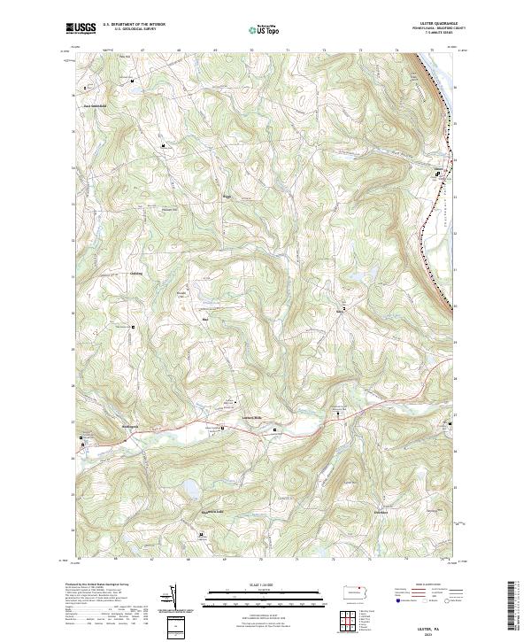
2023 Map of Ulster
USGS Topo · Published 2023About this map
Luthers Mills and Ulster anchor this corner of Bradford County, where the landscape transitions from the broad Susquehanna River valley into the high, dissected plateaus of the north. Significant genealogical value is found in the numerous small burial grounds, including the James Campbell Family Cem and the Bradford County Alms House Cem, which speak to the area's early family settlements and social history. The terrain is marked by deep cuts like Toad Hollow and Slater Hollow, while recreational and natural features such as Mountain Lake and Browns Pond are tucked among the ridges. Local transport and commerce are represented by Cash Creek Airport and the network of historic routes like the Berwick Tpke. The map illustrates a rural economy organized around creek valleys, with Sugar Creek and Browns Creek providing the primary drainage and historical settlement corridors through Sheshequin Valley.
Find a feature on this map
78 named features on this map. Tap any name to fly to it.
Don’t see what you’re looking for? This feature index may not catch every label — zoom into the map to look around manually.
Map Details
Editions of this 2023 Ulster Map
This is the sole edition of this map. No revisions or reprints were ever made.
Other maps of this area

1923 · Towanda
USGS Topo · 1:62,500

1926 · Towanda
USGS Topo · 1:62,500

1939 · Sayre
USGS Topo · 1:62,500

1942 · Sayre
USGS Topo · 1:62,500

1943 · Towanda
USGS Topo · 1:62,500

1943 · Monroeton
USGS Topo · 1:62,500

1943 · Powell
USGS Topo · 1:62,500

1945 · Powell
USGS Topo · 1:62,500

1948 · Sayre
USGS Topo · 1:62,500

1954 · Williamsport
USGS Topo · 1:250,000
Featured Places
- Sheshequin Township, PA
- Ulster Township, PA
- North Towanda Township, PA
- West Burlington Township, PA
- Burlington, PA