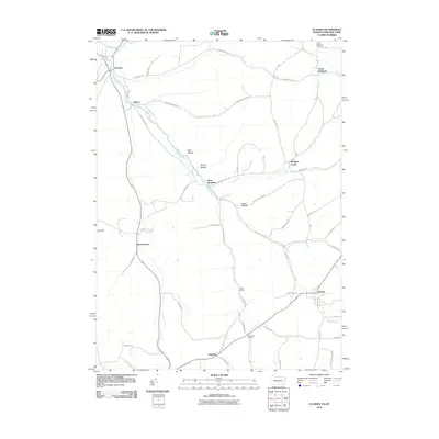
2010 Map of Ulysses
USGS Topo · Published 2010About this map
The Genesee River serves as the primary geographical corridor through this part of Allegany County and northern Pennsylvania, its path shadowed by a network of rural roads that connect small, established hamlets. The settlement pattern here is distinctly tied to these valley floors, with villages like Genesee, Hickox, and Ulysses anchored along the water and intersecting transit lines. In the northern reaches, the North Bingham Cemetery stands as a significant point for genealogical research, situated near the cluster of North Bingham and Bingham Center.
Find a feature on this map
47 named features on this map. Tap any name to fly to it.
Don’t see what you’re looking for? This feature index may not catch every label — zoom into the map to look around manually.
Map Details
Editions of this 2010 Ulysses Map
This is the sole edition of this map. No revisions or reprints were ever made.
Other maps of this area

1899 · Gaines
USGS Topo · 1:62,500

1900 · Gaines
USGS Topo · 1:62,500

1926 · Wellsville
USGS Topo · 1:62,500

1926 · Greenwood
USGS Topo · 1:62,500

1932 · Genesee
USGS Topo · 1:62,500

1937 · Genesee
USGS Topo · 1:62,500

1950 · Elmira
USGS Topo · 1:250,000

1954 · Williamsport
USGS Topo · 1:250,000
1957 · Harrison Valley
USGS Topo · 1:24,000

1958 · Elmira
USGS Topo · 1:250,000