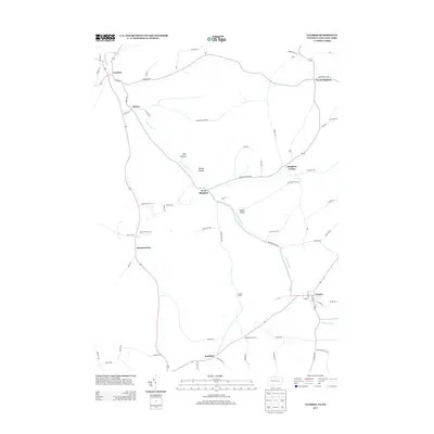
2013 Map of Ulysses
USGS Topo · Published 2013About this map
The Genesee River cuts a winding path through this portion of Potter and Allegany counties, anchoring a landscape defined by small rural hubs and narrow valleys. The settlement of Ulysses serves as a primary center in the southeast, while the northern reaches are dotted with familial and geographic place names such as North Bingham, West Bingham, and Bingham Center. This 2013 survey illustrates the persistent rural road network connecting these hamlets, from Harmontown to the crossroads at Kibbeville Corners.
Find a feature on this map
73 named features on this map. Tap any name to fly to it.
Don’t see what you’re looking for? This feature index may not catch every label — zoom into the map to look around manually.
Map Details
Editions of this 2013 Ulysses Map
This is the sole edition of this map. No revisions or reprints were ever made.
Other maps of this area

1899 · Gaines
USGS Topo · 1:62,500

1900 · Gaines
USGS Topo · 1:62,500

1926 · Wellsville
USGS Topo · 1:62,500

1926 · Greenwood
USGS Topo · 1:62,500

1932 · Genesee
USGS Topo · 1:62,500

1937 · Genesee
USGS Topo · 1:62,500

1950 · Elmira
USGS Topo · 1:250,000

1954 · Williamsport
USGS Topo · 1:250,000
1957 · Harrison Valley
USGS Topo · 1:24,000

1958 · Elmira
USGS Topo · 1:250,000