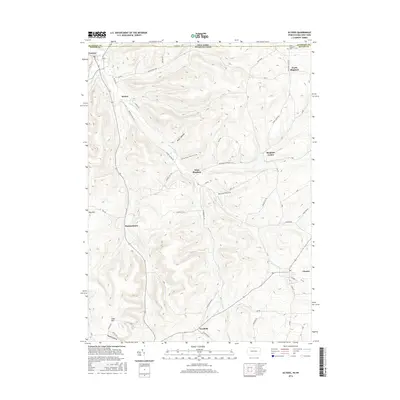
2016 Map of Ulysses
USGS Topo · Published 2016About this map
The Genesee River cuts a winding path through the borderlands of northern Pennsylvania and southern New York, anchoring a landscape of tight hollows and high ridges. This 2016 survey captures the rural character of Potter County, where small agricultural and residential clusters like West Bingham, Bingham Center, and Harmontown are connected by a network of local roads such as the Hickox Ulysses Rd and Bingham Center Rd.
Find a feature on this map
62 named features on this map. Tap any name to fly to it.
Don’t see what you’re looking for? This feature index may not catch every label — zoom into the map to look around manually.
Map Details
Editions of this 2016 Ulysses Map
This is the sole edition of this map. No revisions or reprints were ever made.
Other maps of this area

1899 · Gaines
USGS Topo · 1:62,500

1900 · Gaines
USGS Topo · 1:62,500

1926 · Wellsville
USGS Topo · 1:62,500

1926 · Greenwood
USGS Topo · 1:62,500

1932 · Genesee
USGS Topo · 1:62,500

1937 · Genesee
USGS Topo · 1:62,500

1950 · Elmira
USGS Topo · 1:250,000

1954 · Williamsport
USGS Topo · 1:250,000
1957 · Harrison Valley
USGS Topo · 1:24,000

1958 · Elmira
USGS Topo · 1:250,000