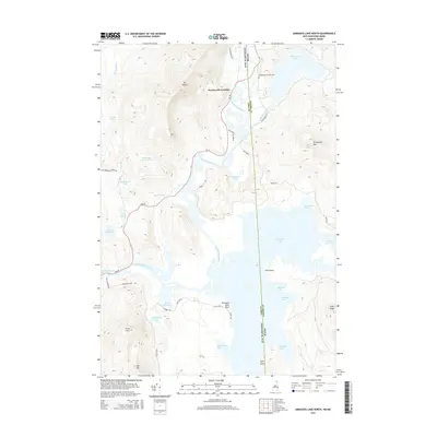
2015 Map of Umbagog Lake North
USGS Topo · Published 2015About this map
Wentworth Location sits at the heart of this North Country landscape, where the Magalloway River winds through a dense network of ponds and high peaks. The 2015 data illustrates the rugged borderlands between Coos County, New Hampshire, and Oxford County, Maine, defined by the vast waters of Umbagog Lake. Significant landmarks such as Mt Dustan and Sturtevant Mtn overlook a complex hydrology that includes Dustan Pond, Bear Brook, and Sturtevant Pond.
Find a feature on this map
49 named features on this map. Tap any name to fly to it.
Don’t see what you’re looking for? This feature index may not catch every label — zoom into the map to look around manually.
Map Details
Editions of this 2015 Umbagog Lake North Map
This is the sole edition of this map. No revisions or reprints were ever made.
Other maps of this area

1930 · Milan
USGS Topo · 1:62,500

1930 · Errol
USGS Topo · 1:62,500

1933 · Milan
USGS Topo · 1:62,500

1934 · Errol
USGS Topo · 1:62,500

1934 · Milan
USGS Topo · 1:62,500

1940 · Oquossoc
USGS Topo · 1:62,500

1942 · Oquossoc
USGS Topo · 1:62,500

1943 · Old Speck Mtn
USGS Topo · 1:62,500

1945 · Old Speck Mtn
USGS Topo · 1:62,500

1950 · Lewiston
USGS Topo · 1:250,000