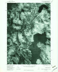
1976 Map of Umbagog Lake North
USGS Topo · Published 1983About this map
Wentworths Location serves as the focal point of this 1976 orthophotoquad, where the winding channels of the Magalloway River flow southward toward the northern reaches of Umbagog Lake. Unlike a traditional line-drawn map, this aerial perspective captures the exact texture of the forested landscape and the complex riparian zones along the Androscoggin River. The sheet reveals the isolated character of this border region between New Hampshire and Maine, dominated by prominent relief features such as Sturtevant Mountain and Mount Dustan.
Find a feature on this map
10 named features on this map. Tap any name to fly to it.
Don’t see what you’re looking for? This feature index may not catch every label — zoom into the map to look around manually.
Map Details
Editions of this 1976 Umbagog Lake North Map
This is the sole edition of this map. No revisions or reprints were ever made.
Other maps of this area

1930 · Milan
USGS Topo · 1:62,500

1930 · Errol
USGS Topo · 1:62,500

1933 · Milan
USGS Topo · 1:62,500

1934 · Errol
USGS Topo · 1:62,500

1934 · Milan
USGS Topo · 1:62,500

1940 · Oquossoc
USGS Topo · 1:62,500

1942 · Oquossoc
USGS Topo · 1:62,500

1943 · Old Speck Mtn
USGS Topo · 1:62,500

1945 · Old Speck Mtn
USGS Topo · 1:62,500

1950 · Lewiston
USGS Topo · 1:250,000