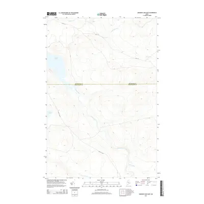
2014 Map of Umsaskis Lake East
USGS Topo · Published 2014About this map
The Allagash River flows through this remote stretch of the North Maine Woods, marking the geographic heart of the region's wilderness waterways. This 2014 survey captures the landscape at a time when access remained limited to industrial logging routes like Reality Rd and Churchill Dam Rd. The boundary between Aroostook and Piscataquis counties bisects the area, cutting across the southern reaches of Umsaskis Lake. Small tributaries including Harrow Brook and McCluskey Brook drain into the main river corridor, which remains the primary artery for travel through the heavy forest. The map detail highlights the hydrological connection between Priestly Lake and the surrounding drainage basins of the N Br Glazier Brook, illustrating the complex network of wetlands and streams that define this protected timberland environment.
Find a feature on this map
10 named features on this map. Tap any name to fly to it.
Don’t see what you’re looking for? This feature index may not catch every label — zoom into the map to look around manually.
Map Details
Editions of this 2014 Umsaskis Lake East Map
This is the sole edition of this map. No revisions or reprints were ever made.
Other maps of this area

1932 · Umsaskis Lake
USGS Topo · 1:48,000

1932 · Musquacook Lakes
USGS Topo · 1:48,000

1935 · Umsaskis Lake
USGS Topo · 1:62,500

1935 · Musquacook Lakes
USGS Topo · 1:62,500

1954 · Spider Lake
USGS Topo · 1:62,500

1954 · Churchill Lake
USGS Topo · 1:62,500

1954 · Presque Isle
USGS Topo · 1:250,000

1958 · Presque Isle
USGS Topo · 1:250,000

1960 · Presque Isle
USGS Topo · 1:250,000

1961 · Spider Lake
USGS Topo · 1:62,500