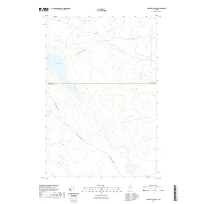
2021 Map of Umsaskis Lake East
USGS Topo · Published 2021About this map
Umsaskis Lake and the Allagash River dominate this Northern Maine wilderness interior, where the landscape is defined by its drainage basins and historic timber transport routes. The transition from Aroostook Co to Piscataquis Co is marked across the center of the sheet, cutting through a topography of numerous waterways including Glazier Brook and its northern branch, N-Br-Glazier Brook.
Find a feature on this map
11 named features on this map. Tap any name to fly to it.
Don’t see what you’re looking for? This feature index may not catch every label — zoom into the map to look around manually.
Map Details
Editions of this 2021 Umsaskis Lake East Map
This is the sole edition of this map. No revisions or reprints were ever made.
Other maps of this area

1932 · Umsaskis Lake
USGS Topo · 1:48,000

1932 · Musquacook Lakes
USGS Topo · 1:48,000

1935 · Umsaskis Lake
USGS Topo · 1:62,500

1935 · Musquacook Lakes
USGS Topo · 1:62,500

1954 · Spider Lake
USGS Topo · 1:62,500

1954 · Churchill Lake
USGS Topo · 1:62,500

1954 · Presque Isle
USGS Topo · 1:250,000

1958 · Presque Isle
USGS Topo · 1:250,000

1960 · Presque Isle
USGS Topo · 1:250,000

1961 · Spider Lake
USGS Topo · 1:62,500