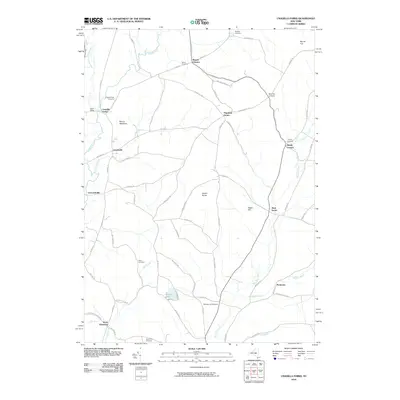
2010 Map of Unadilla Forks
USGS Topo · Published 2010About this map
Unadilla Forks sits at the confluence where the West Branch Unadilla River meets the main Unadilla River, anchoring a landscape of rural hamlets and crossroads in central New York. The terrain is defined by prominent elevations such as Mount Markham and Welch Hill, with the valleys between them carrying vital watercourses like Wharton Creek and Mill Creek. This 2010 survey reflects a deeply rooted agricultural and rural community, evidenced by the numerous family-named junctions such as Woods Corners, Spooner Corners, and Huntly Corners. Historic transportation routes like the Skaneateles Tpke cross the region, connecting smaller settlements like Plainfield Center and Leonardsville. Genealogists will find significant value in the distribution of local burial grounds, including Unadilla Forks Cemetery, Wood Cemetery, and Taylor Hill Cemetery, which are scattered throughout the hills and creek valleys.
Find a feature on this map
74 named features on this map. Tap any name to fly to it.
Don’t see what you’re looking for? This feature index may not catch every label — zoom into the map to look around manually.
Map Details
Editions of this 2010 Unadilla Forks Map
This is the sole edition of this map. No revisions or reprints were ever made.
Other maps of this area

1907 · Winfield
USGS Topo · 1:62,500

1907 · Sangerfield
USGS Topo · 1:62,500

1910 · Hartwick
USGS Topo · 1:62,500

1910 · New Berlin
USGS Topo · 1:62,500

1912 · New Berlin
USGS Topo · 1:62,500

1912 · Hartwick
USGS Topo · 1:62,500

1943 · Schuyler Lake
USGS Topo · 1:24,000

1943 · New Berlin North
USGS Topo · 1:24,000

1943 · Millers Mills
USGS Topo · 1:24,000

1943 · Cassville
USGS Topo · 1:24,000