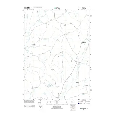
2013 Map of Unadilla Forks
USGS Topo · Published 2013About this map
The Unadilla River and its western branch define the western boundary of this landscape, carving through the rural terrain of Madison and Otsego counties. The settlement of Unadilla Forks serves as a central point for the region's historical road network, where routes like the Skaneateles Tpke and Co Hwy-18A intersect. This area is characterized by a high density of family-named burial grounds and small hamlets, including Plainfield Center, Lloydsville, and North Edmeston, reflecting generations of local land ownership and agricultural heritage.
Find a feature on this map
70 named features on this map. Tap any name to fly to it.
Don’t see what you’re looking for? This feature index may not catch every label — zoom into the map to look around manually.
Map Details
Editions of this 2013 Unadilla Forks Map
This is the sole edition of this map. No revisions or reprints were ever made.
Other maps of this area

1907 · Winfield
USGS Topo · 1:62,500

1907 · Sangerfield
USGS Topo · 1:62,500

1910 · Hartwick
USGS Topo · 1:62,500

1910 · New Berlin
USGS Topo · 1:62,500

1912 · New Berlin
USGS Topo · 1:62,500

1912 · Hartwick
USGS Topo · 1:62,500

1943 · Schuyler Lake
USGS Topo · 1:24,000

1943 · New Berlin North
USGS Topo · 1:24,000

1943 · Millers Mills
USGS Topo · 1:24,000

1943 · Cassville
USGS Topo · 1:24,000